
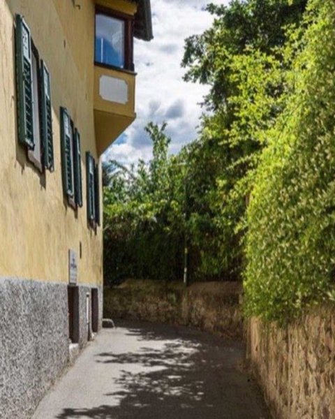
The Merano region offers 4 large hiking areas with different characteristics, all of which can be reached by cable cars or chair and gondola lifts:
-
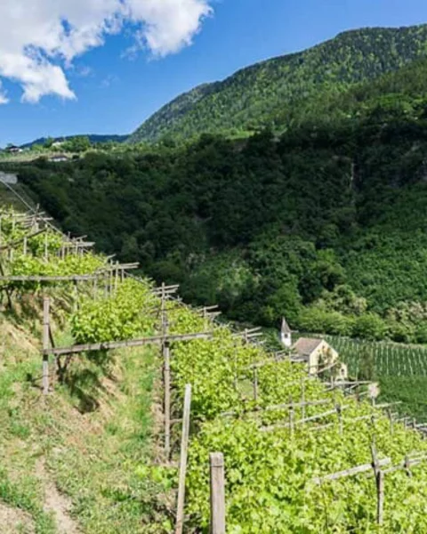
From Merano to the Santa Caterina Church
The ascent begins in Merano and runs initially on the Sissi path through the magnificent Maia Alta alleys. Perfect for warming up, it passes easily by old parks and picturesque villas.
-
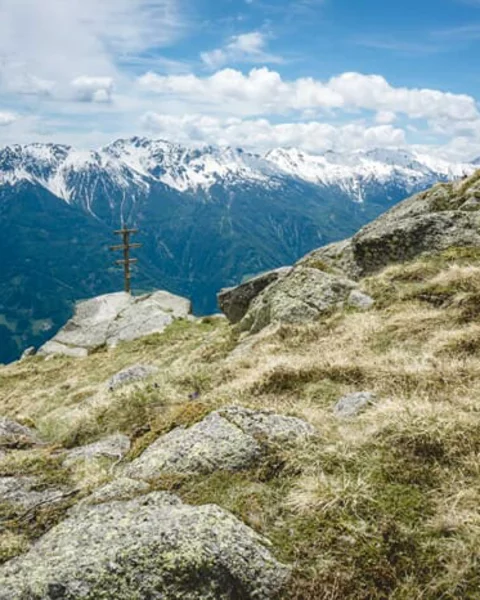
Orenknott
A moderately difficult, little-known hike that is rarely written about. A shame, really, because this route on the Merano High Trail, yet off the beaten track, is one of the most beautiful hikes around Merano!
-
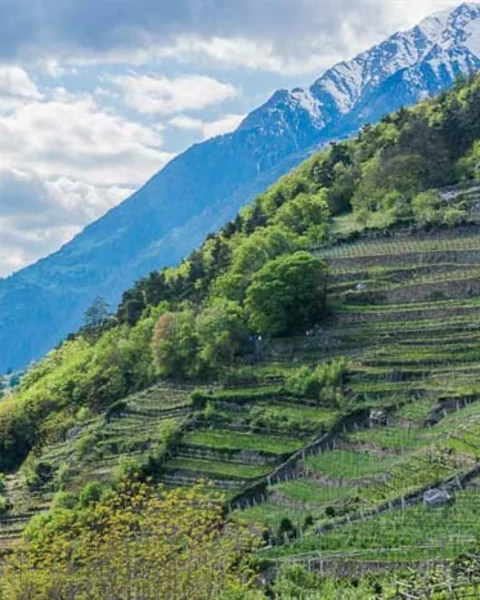
Hike from Lagundo to Velloi
Velloi lies at an altitude of 950 metres above Lagundo, which is why spring arrives a little later here despite its sunny location. The ideal hike for late spring, we think, and park the car in the centre of Lagundo.
Learn more -
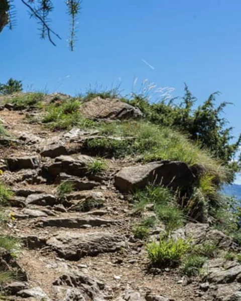
Monte Tramontana
Best to reach with the cable car San Vigilio from Lana (10 minutes by car from Merano) The best routes start directly at the top station of the cable car and lead in the direction of Val d’Ultimo or Naturno
-
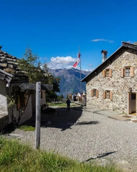
The 7 most important paths and alpine pastures in Lagundo
Lagundo has a wide and varied network of walking and hiking trails of different lengths and difficulties.
-
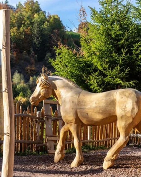
Monte Tramontana
Best to reach with the cable car San Vigilio from Lana (10 minutes by car from Merano) The best routes start directly at the top station of the cable car and lead in the direction of Val d’Ultimo or Naturno
-
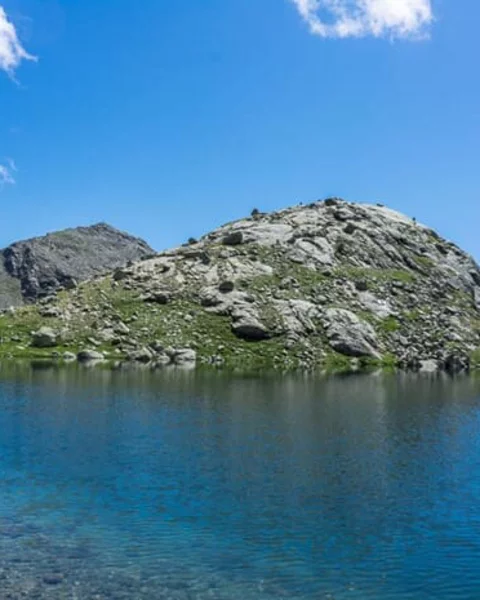
Sopranes lakes
Together, the Spronser Lakes form the highest lake plateau in Europe and are, yes, the most beautiful, spectacular and (luckily!) least developed hiking area around Merano!
-
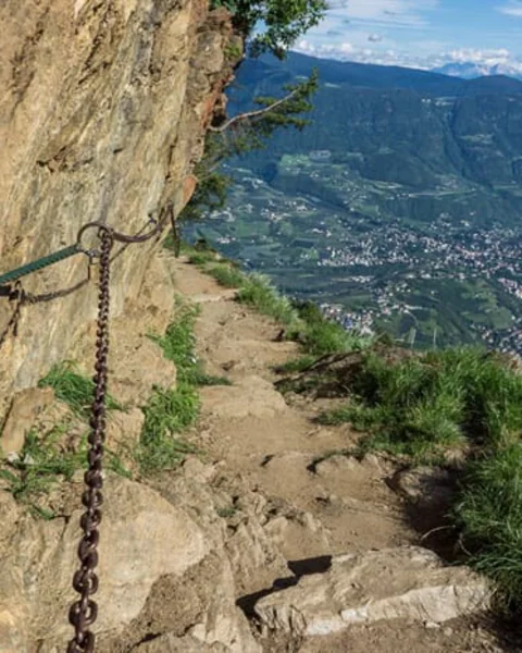
Gruppo di Tessa
The best way to reach it is with the Hochmut cable car from Tirolo or the train from Velloi. At the mountain stations of the cable cars start very demanding tours to the peaks of the Texelgruppe , which are up to 3000 meters high and partly require some alpine experience. A dream view of the Merano basin is guaranteed!
-
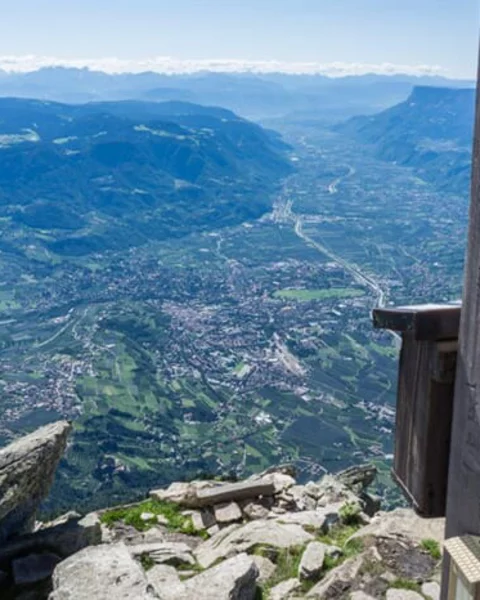
Mut Peak
The striking peak of the Mut summit, also known as the "gateway" to the Texel Group, rises up clearly visible north of Merano above Tirolo village at an altitude of 2294 meters.
-
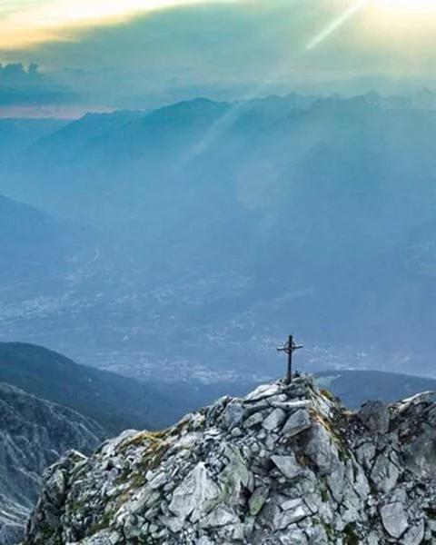
Mount Ivigna
Moint Ivigna, also known as Picco d'Ivigna, extends above Merano 2000, in Avelengo. Its rocky peak consists of two peaks, the small Ivigna Peak (2552 meters) and the large Ivigna Peak (2581 meters).
Learn more -
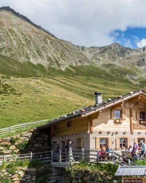
The Hirzer
The Hirzer hiking area is mostly located in the municipality of Scena, but is easiest to reach from the Passeier Valley, where the valley station of the Hirzer cable car is in the village of Saltusio.
Learn more -
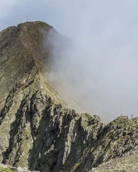
Hirzer and Hoenig peak
We opt for the “classic” approach: by car from Scena to Saltusio (25 minutes); there is plenty of free parking at the valley station.
-
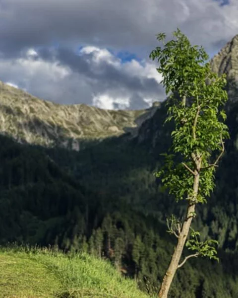
Monte Tramontana
Best to reach with the cable car San Vigilio from Lana (10 minutes by car from Merano) The best routes start directly at the top station of the cable car and lead in the direction of Val d’Ultimo or Naturno
-
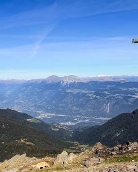
The area around Monte Lucco
To reach by car via Lana, from there to the Passo Palade. From there up via the Laugenalm or the Gfrillner Alm, at the Laugensee you can decide whether you want to climb the small or the big Laugen Peak.
-
-
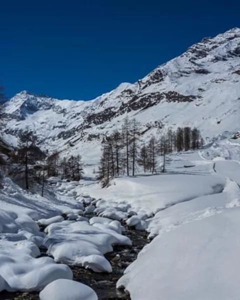
From Plan in Val Passiria to Lazins Hut
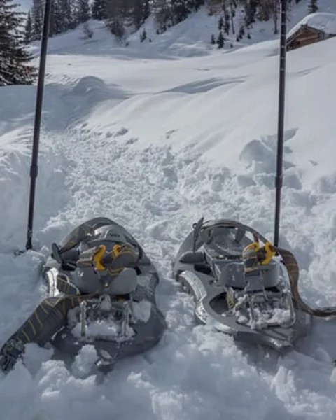
Plan in the Passeier Valley is considered a snow guarantor in winter. From Merano this quite remote mountain village can be reached in about 50 minutes by car.
Stay in Merano
-
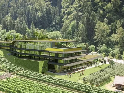 Prinz Rudolf SmarthotelMerano · 4 starsWebsite
-
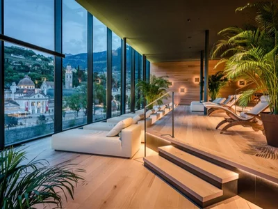 Hotel Terme MeranoMerano center · 4 stars SWebsite
-
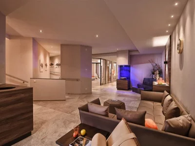 Hotel SonnenburgMaia Alta/ Merano · 4 starsWebsite
All hotels in Merano Holiday apartments in Merano